1. Please go to our "Mailing List & Newsletter" section and enter your email address to our database. You will then be notified of upcoming workshops, classes and events on various rural topics. Also, keep an eye on our "Calender of Events" for upcoming events related to rural properties just like yours.
2. Nevada County landowners, are elligible to view aerial and topography maps with your specific parcel highlighted from the Nevada County GIS interactive map service. (also under Key Contacts & Links)
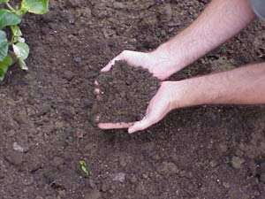
It is essential for good land use to ascertain what soil types you own.
3. Take your GIS maps to the "Nevada County Resource Conservation District" and "Natural Resources Conservation Service" office (same office) at 113 Presley Way Suite 1, Grass Valley, (530) 272-3417, and get your soil description for your property. The "Soil Survey of Nevada County" has been done by Soil Scientists of the USDA.
They are also able to print GIS maps of your property at their facility.
Feel free to ask them any questions you have regarding your property, and its resources, and especially be sure to inquire about special shared expense options & programs that are available to assist qualified landowners with the costs associated with brush removal, erosion control, fire protection and more. This is a great place to start with your new learning adventure.
4. Most importantly, don't forget to fill out our online registration form to let us know whih of our next classes you are most interested in joining us for. For example, our "Rural Property Management" class is a custom 5 week course that will bring all aspects of your specific property's dynamics together and instilling new rural property knowledge & confidence in you like never before -- and that is a promise!